SALEM MARBLEHEAD RAIL TRAIL︎︎︎
. Biking from Boston to Salem's enchanting call,
. On Northern Strand, where the wheels enthrall.
. Through Lynn's streets and Red Rock Park's delight,
. Nature's canvas unfolds in the soft twilight.
. Marblehead Neck, where the sea breeze sways,
. The Rail Trail whispers tales through coastal bays.
. Pedaling through histories, a journey so grand,
. From Boston to Salem, on the Northern Strand.
Using the Northern Strand Rail Trail to get out of the greater boston area, the route to Salem continues past Nahant along the coastline, stopping though Marblehead neck. On the way back from the island, the route follows the edge of the Marblehead peninsula until reaching the Marblehead Rail Trail.
From there, the rail trail goes directly into downtown salem, and on towards Salem Willows park. At the Salem Ferry pier, you can catch a ride back to Long Wharf boston, or take the train from the Salem Train and Bus station.
ridewithgps route...
︎︎︎ F $ ö / >>
xx ++ ~ --- ^ ⌄
︎︎︎ = Type: One way
F = Transit: Ferry
$$ = Cost: $25.00
ö = Duration: One day
/ = Access: Near
>> = Length: 37.1 mi
F = Transit: Ferry
$$ = Cost: $25.00
ö = Duration: One day
/ = Access: Near
>> = Length: 37.1 mi
xx = Road: 59 %
++ = Path: 41 %
~ = Dirt: 7 %
--- = Paved: 93 %
^ = Elevation: +940 ft
⌄ = Elevation: -958 ft
++ = Path: 41 %
~ = Dirt: 7 %
--- = Paved: 93 %
^ = Elevation: +940 ft
⌄ = Elevation: -958 ft
* The coastal route that passes around Red Rock park near Lynn.

* On the Sandbar road to Marblehead Neck.
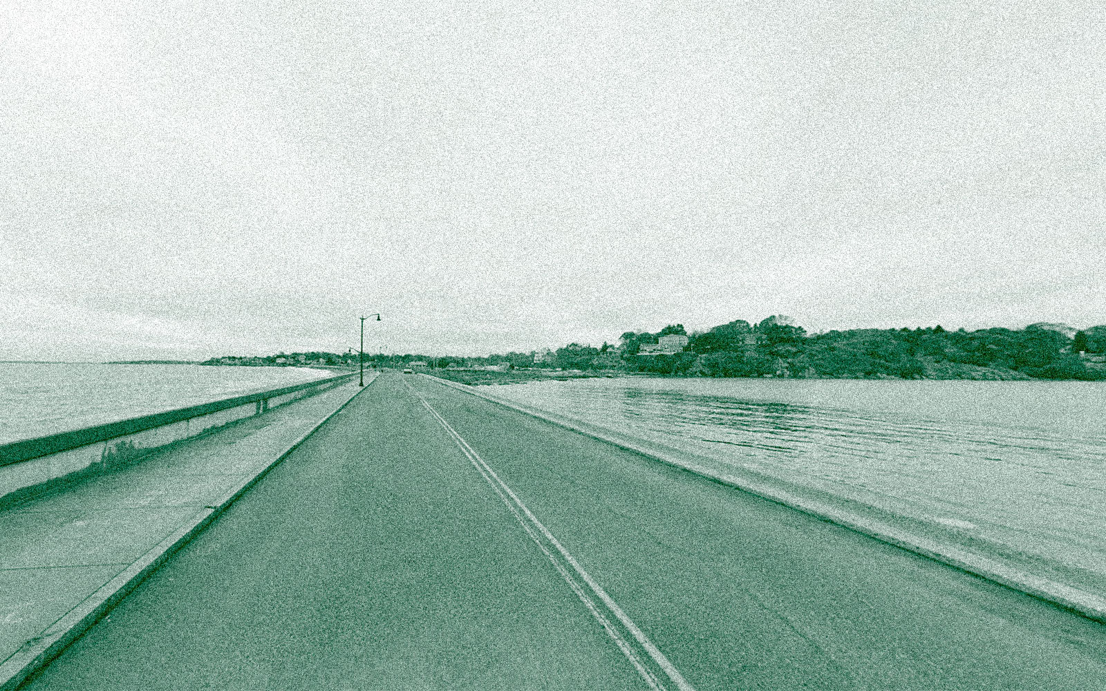
* * The Forest River bridge on the Marblehead Rail Trail.

* The Marblehead Rail Trail on the way to Salem.

* An underpass on the Marblehead Rail Trail.

* The historical Marblehead downtown.
