CHARLES RIVER BIKE PATH︎︎︎
. Down Charles River's path, where bikers roam,
. To Newton's embrace, a journey to call home.
. Wheels on the path, by the river's side,
. A scenic ride, where nature and city coincide.
. From pedals to paddle, a seamless transition,
. Kayaking on the Charles, a watery mission.
. Nature's embrace, on the river's flow,
. Biking and kayaking, where adventures grow.
This popular route spans both sides along the Lower section of the Charles River, all the way from the Museum of Science in Boston, through Kendall MIT and Harvard square, past Watertown and Waltham, to the Paddle Boston Boat Dock in Newton. This ride is recomended in the summer to take advantage of the kayak rental, to explore the upper charles by boat where the bike path ends.
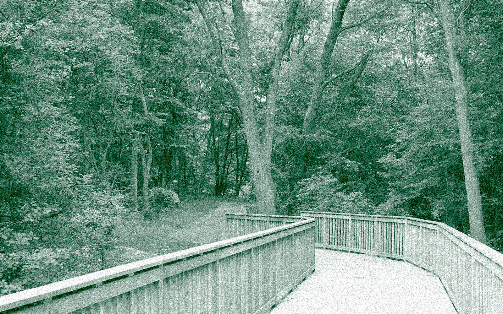
This path goes through a variety of different types of locations, from the center of boston, to more secluded gravel bike trails and small bridges spanning the river.
ridewithgps route...
. To Newton's embrace, a journey to call home.
. Wheels on the path, by the river's side,
. A scenic ride, where nature and city coincide.
. From pedals to paddle, a seamless transition,
. Kayaking on the Charles, a watery mission.
. Nature's embrace, on the river's flow,
. Biking and kayaking, where adventures grow.
This popular route spans both sides along the Lower section of the Charles River, all the way from the Museum of Science in Boston, through Kendall MIT and Harvard square, past Watertown and Waltham, to the Paddle Boston Boat Dock in Newton. This ride is recomended in the summer to take advantage of the kayak rental, to explore the upper charles by boat where the bike path ends.
This path goes through a variety of different types of locations, from the center of boston, to more secluded gravel bike trails and small bridges spanning the river.
ridewithgps route...
︎︎︎︎︎︎ Ń $$ ö / >>
xxx + ~ --- ^ ⌄
︎︎︎ = Type: Return / Loop
Ń= Transit: None
$$ = Cost: $45.00
ö = Duration: One day
/ = Access: Near
>> = Length: 32.4 mi
Ń= Transit: None
$$ = Cost: $45.00
ö = Duration: One day
/ = Access: Near
>> = Length: 32.4 mi
xxx = Road: 96 %
+ = Path: 4 %
~ = Dirt: 13 %
--- = Paved: 87 %
^ = Elevation: +545 ft
⌄ = Elevation: -545 ft
+ = Path: 4 %
~ = Dirt: 13 %
--- = Paved: 87 %
^ = Elevation: +545 ft
⌄ = Elevation: -545 ft
* The Charles River Greenway Bridge between Watertown and Waltham.

* An open view of the Charles River on the Boston Esplanade.

* Looking towards the Museum of Science on the Charles River Pathway.

* A bridge over the Charles River near the Watertown Dam.
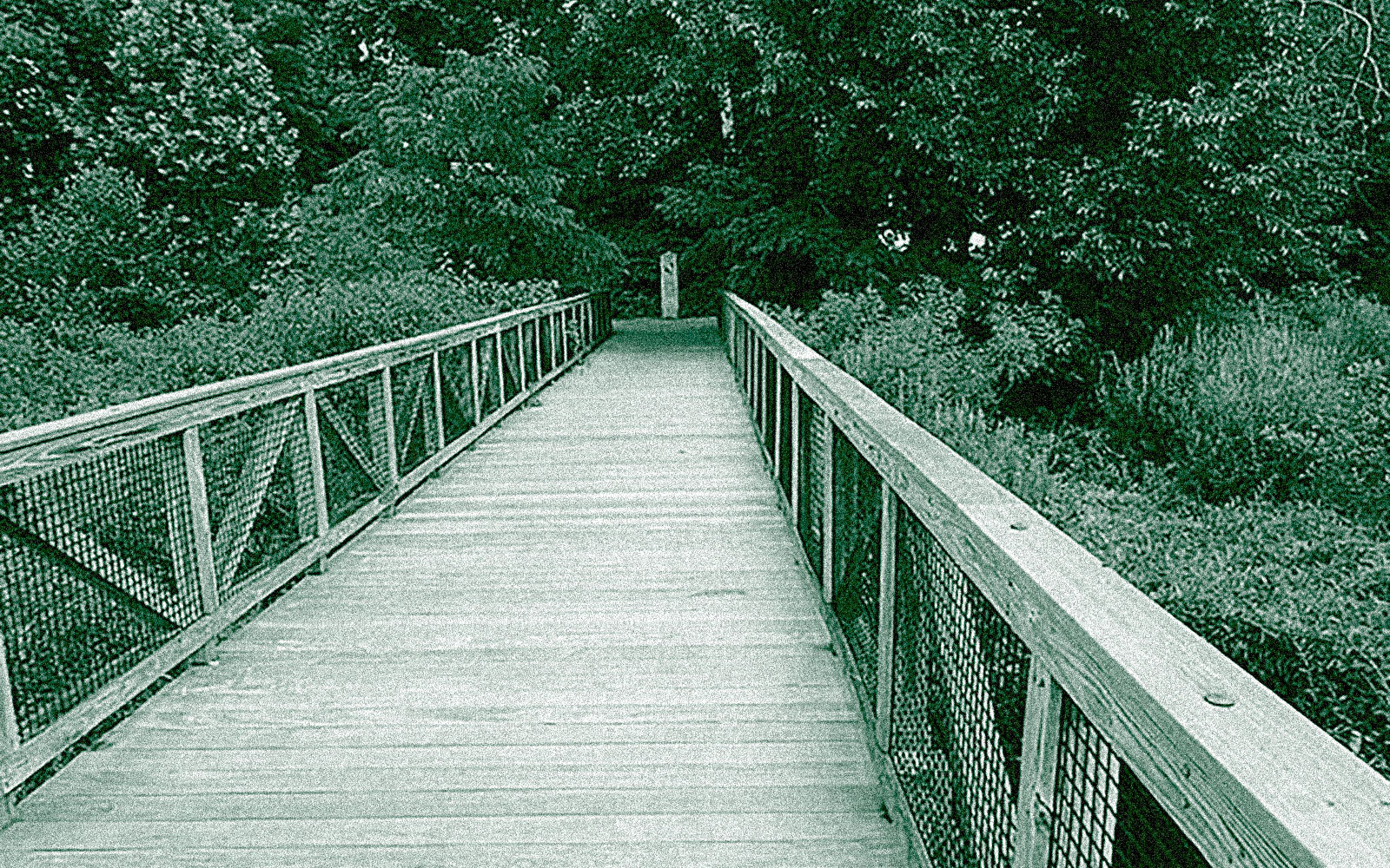
* The elevated wooden walkway nearby the gravel path on the Charles River.
* Along the path with a view of downtown Boston near the MIT Sailing pavilion.
