LAMOILLE VALLEY RAIL TRAIL︎︎︎
. Beneath the sky's vast, endless blue,
. From St. Johnsbury to St. Albans, anew.
. Along Lamoille's gentle, winding stream,
. Adventure calls, like a distant dream.
. Pedals turn with spirited glee,
. Onward we ride, wild and free.
. In the heart of nature, our spirits soar,
. On this trail of dreams, forevermore.
This nearly one hundred mile route follows a network of rail trails from St. Johnsbury in central Vermont, to the shores of Lake Champlain in St. Albans City. Although nearly all of this route is along a dedicated pedestrian and cycle path, there is a balance between paved and compacted dirt ground cover. The central portion of the rail trail connects along the Lamoille River, while the northern end passes along Black Creek.
The start of this multiday route is a long distance from Boston and remains a popular trail for cyclists of all abilities and ages.
ridewithgps route...
︎︎︎ Ć $$$ öö /// >>>
x +++ ~~ -- ^ ⌄
︎︎︎ = Type: One Way
Ć= Transit: Car
$$$ = Cost: $120.00
öö = Duration: Two day
/// = Access: Far
>>> = Length: 93.3 mi
Ć= Transit: Car
$$$ = Cost: $120.00
öö = Duration: Two day
/// = Access: Far
>>> = Length: 93.3 mi
x = Road: 2 %
+++ = Path: 98 %
~~ = Dirt: 43 %
-- = Paved: 57 %
^ = Elevation: +1654 ft
⌄ = Elevation: -1801 ft
+++ = Path: 98 %
~~ = Dirt: 43 %
-- = Paved: 57 %
^ = Elevation: +1654 ft
⌄ = Elevation: -1801 ft
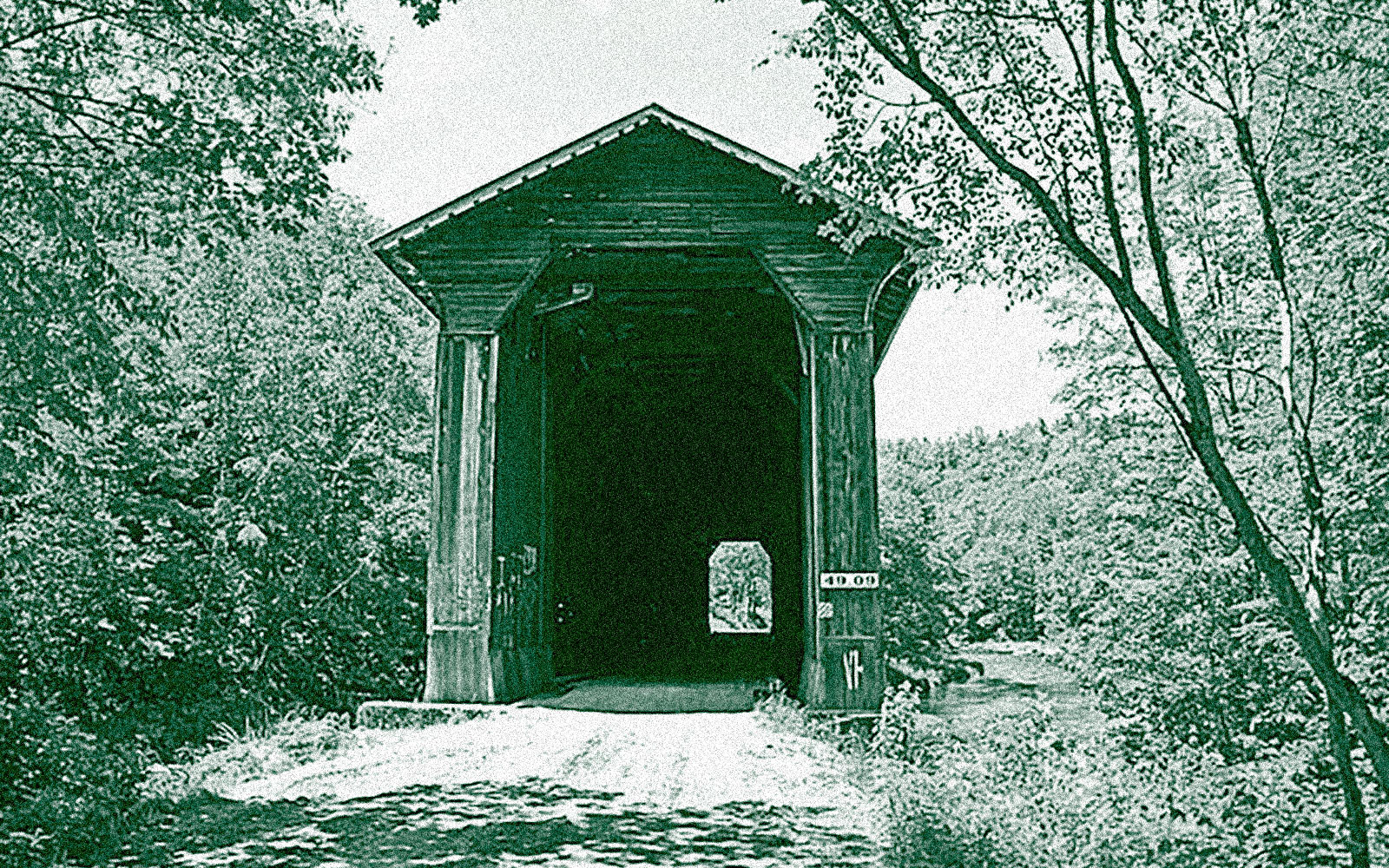
* A covered bridge on the rail trail near Cambridge Vermont.

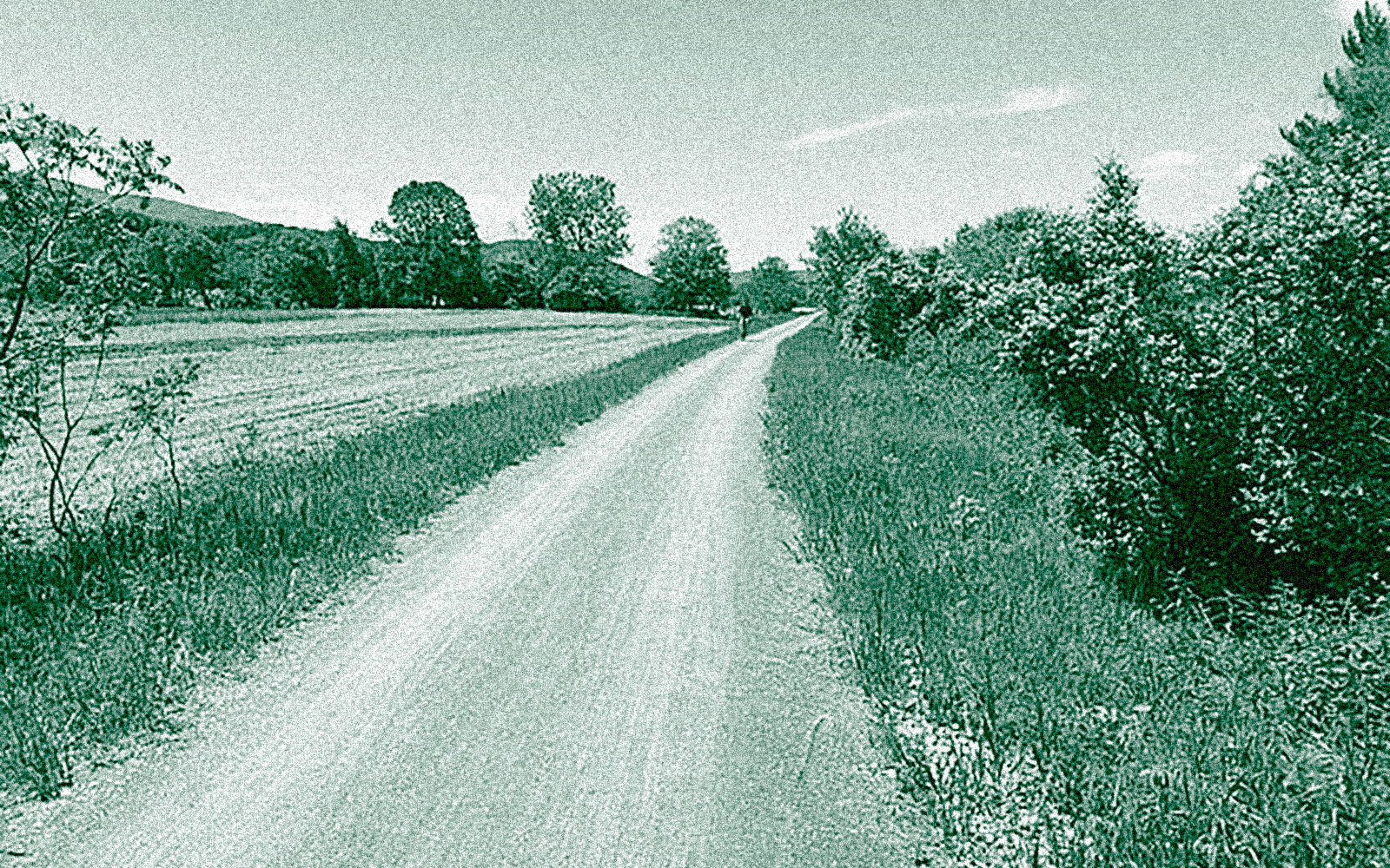
* The Lamoille Valley Rail Trail passes between rows of farm fields.
* A trestle bridge on the Lamoille Valley Rail Trail.

* A highway underpass near St Johnsbury on the Rail Trail.

* The rail trail along the Lamoille River.

* Another covered bridge along the Lamoille Valley Rail Trail.